Build smarter
from concept to closeout
A new dimension in Architecture,
Engineering & Construction
The digital twin from day one
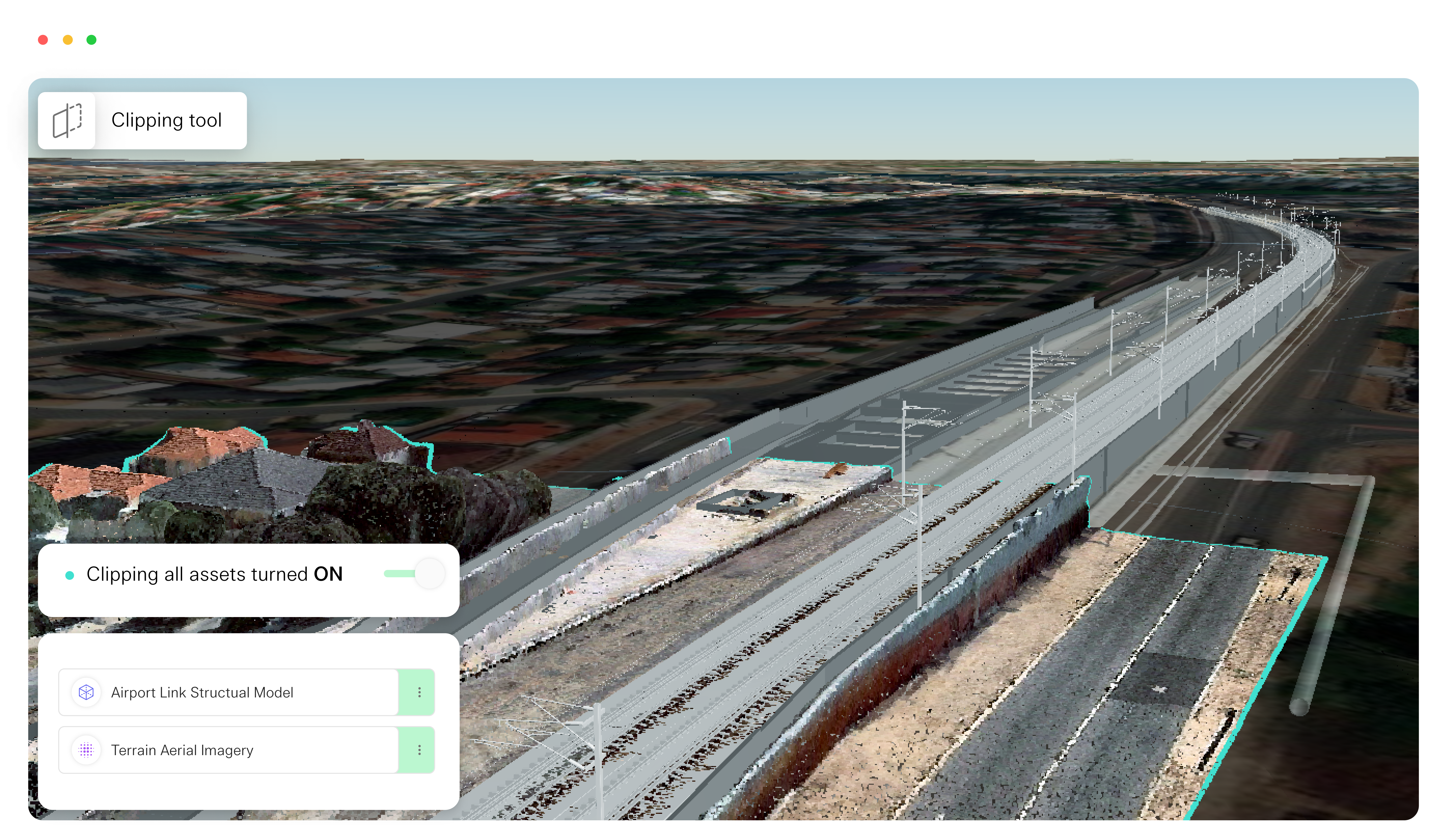
Bringing all your 3D models, point-clouds and GIS data into view, Keyframe provides a complete picture of your project. Our geospatial publishing platform gets your team, contractors and stakeholders on the same page. Powered by the open standard for digital twins, Keyframe is scalable for the largest infrastructure projects

Accelerated feedback with geospatial context
Problems are solved faster with a clearer picture
- 01Publish

- Bring all your BIM, Point cloud and GIS data into the one place.
- 02Plan

- Assemble custom visualisations to provide a better picture for your team and stakeholders
- 03Share

- Communicate seamlessly with custom user access controls to data
- 04Act

- Manage decisions & workflow visually
Trusted by leading AEC companies


